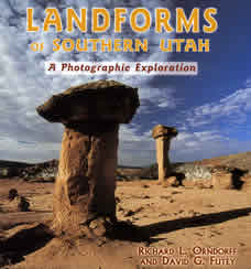
Landforms of Southern Utah
A Photographic Exploration
by Richard L. Orndorff and David G. Futey
Landforms of Southern Utah:
|
|
| Preface |
vii
|
| Landforms and Landscapes |
1
|
| Southern Utah's Geologic Past |
3
|
| Basin and Range |
8
|
| Brian Head, Hurricane Cliffs, and Cedar Breaks |
18
|
| Zion National Park |
22
|
| Snow Canyon State Park |
26
|
| Virgin Anticline |
29
|
| Coral Pink Sand Dunes State Park |
30
|
| Tushar Mountains |
32
|
| Bryce Canyon National Park |
34
|
| Kodachrome Basin State Park |
38
|
| Grand Staircase-Escalante National Monument |
40
|
| Lake Powell |
48
|
| Fish Lake |
50
|
| Capitol Reef National Park |
52
|
| Henry Mountains |
54
|
| San Rafael Swell |
56
|
| Goblin Valley State Park |
60
|
| Canyonlands National Park |
62
|
| Arches National Park |
66
|
| La Sal Mountains |
76
|
| Monument Valley and Valley of the Gods |
80
|
| Natural Bridges National Monument |
84
|
| Glossary |
86
|
| Recommended Reading |
88
|
| Index |
89
|
ADVERTISEMENT
