Home » US Maps » Wyoming » Lakes and Rivers
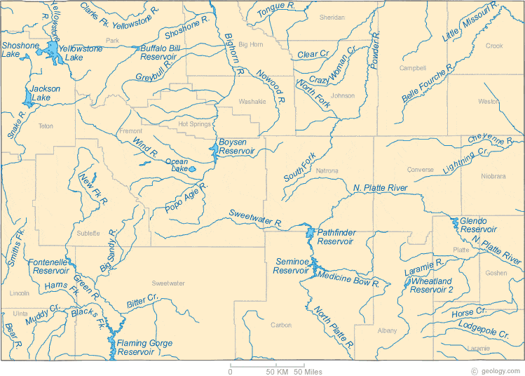
Wyoming Lakes, Rivers and Water Resources
ADVERTISEMENT
Wyoming Rivers Shown on the Map: Bear River, Belle Fourche River, Big Sandy River, Bighorn River, Bitter Creek, Blacks Fork, Cheyenne River, Clarks Fork Yellowstone River, Clear Creek, Crazy Woman Creek, Green River, Greybull River, Hams Fork, Horse Creek, Laramie River, Lightning Creek, Little Missouri River, Lodgepole Creek, Medicine Bow River, Muddy Creek, New Fork River, North Fork Powder River, North Platte River, Nowood River, Popo Agie River, Powder River, Shoshone River, Smiths Fork, Snake River, South Fork Powder River, Sweetwater River, Tongue River, Wind River and Yellowstone River.
Wyoming Lakes Shown on the Map: Boysen Reservoir, Buffalo Bill Reservoir, Flaming Gorge Reservoir, Fontenelle Reservoir, Glendo Reservoir, Jackson Lake, Ocean Lake, Pathfinder Reservoir, Seminoe Reservoir, Shoshone Lake, Wheatland Reservoir and Yellowstone Lake.
| Wyoming Stream and River Levels |
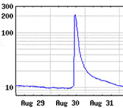
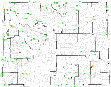 The United States Geological Survey has a number of stream gages located throughout Wyoming. These estimate stream levels, discharges and record them over time. This data is published on the web and many stations allow users to plot custom graphs. Get updated Wyoming river and stream levels from USGS here.
| Wyoming Stream and River Level Alerts |
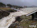 The United States Geological Survey has a system that will send you an email message when flood levels are reached on any steam with USGS gaging equipment that you have selected. Sign up here to recieve Wyoming stream and river level alerts.

| Wyoming Drought Map |
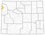 The United States Geological Survey publishes updated drought maps on their website. There you can view a map that shows where below normal 7-day average stream flow conditions were recently recorded. The maps are updated daily. Get a current Wyoming drought map here.
| Wyoming Water Publications |
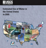 The United States Geological Survey has a number of publications related to water use and water resources in Wyoming. Visit the Wyoming-Montana Water Science Center here.
| Wyoming Elevation Map |
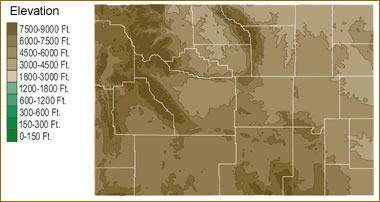 The topography of an area determines the direction of stream flow and often is a primary influence on the geographic distribution of precipitation. View a detailed Wyoming elevation map.


Find Other Topics on Geology.com:
|
| ||

|

| ||
|
| ||
|
|